
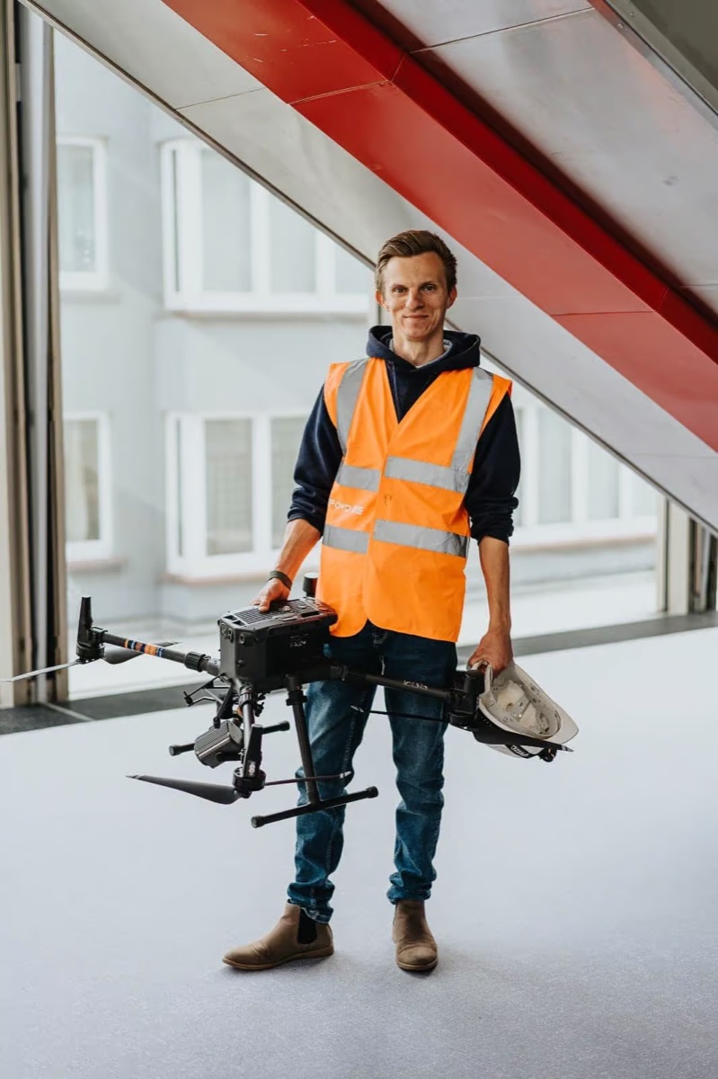
A land-surveying office that flies
Drone4D is no ordinary drone pilot. Behind every flight stands TOPO4D, a licensed land-surveying office with years of experience in surveys, 3D scanning and monitoring. We therefore treat a drone as a measuring instrument: every capture is georeferenced, verifiable and usable in a technical or legal file.
Licensed, certified and insured
We work as a licensed surveyor-expert (LAN 171743) and court expert (EXP 1123644), and fly as certified pilots within the EASA regulations. This combination of land-surveying, legal and operational expertise is rarely found with a single partner.
One partner, from capture to report
We handle the entire process in-house: flight planning, fieldwork with control points, processing and reporting. That way you keep a single point of contact and are assured of consistent quality and immediately usable deliverables.
Why choose Drone4D?
- Land-surveying accuracy with RTK/PPK and control points
- Licensed surveyor-expert & court expert
- Certified, insured drone pilots
- In-house processing and reporting — no subcontracting
- Results in DWG, DXF, GeoTIFF, LAS/LAZ and PDF
- Active throughout Belgium