
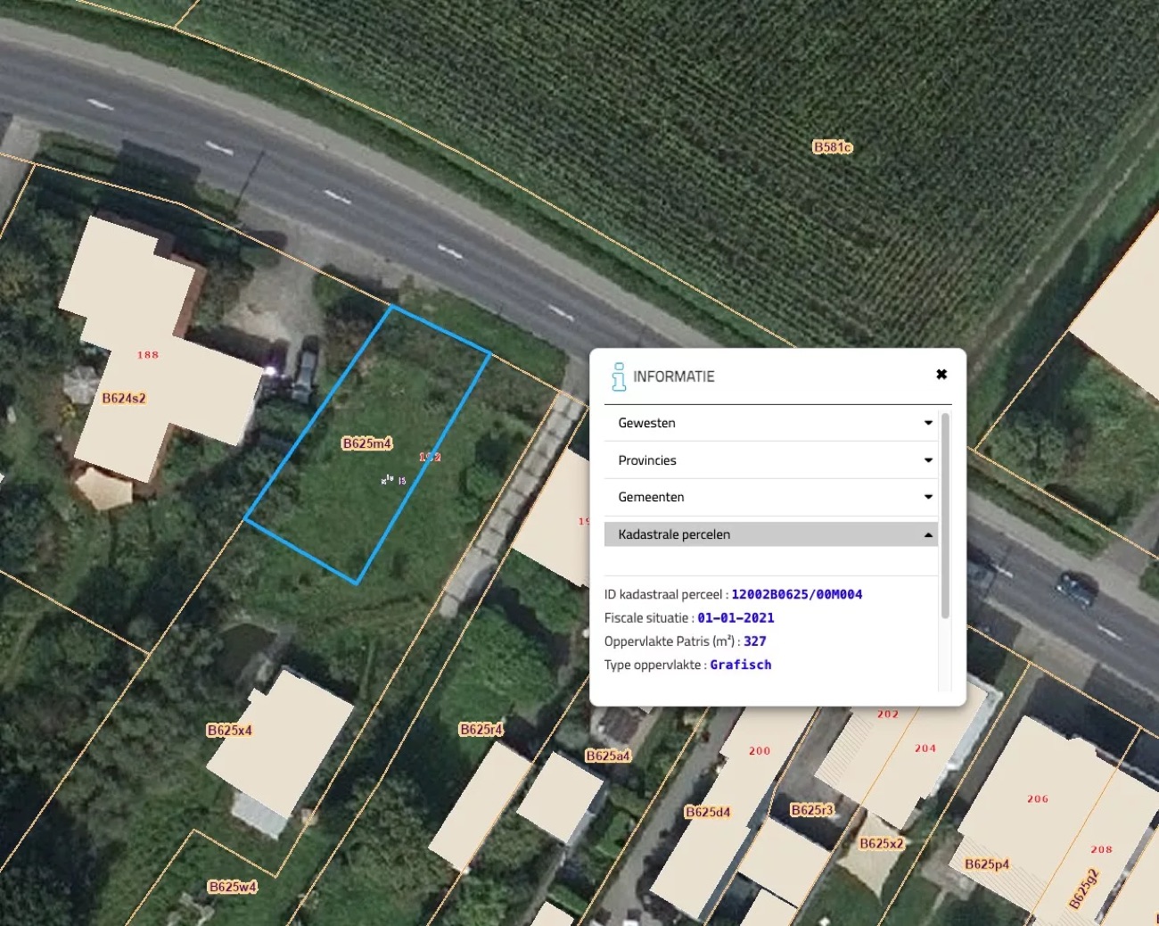
What is an orthophoto?
An ordinary aerial photo is distorted: objects at the edge lean away from the centre. An orthophoto corrects that distortion using the elevation model, so that every point is at true scale. You can measure distances and areas directly on it.
Combined with a 3D model it produces a 'digital twin': a current, measurable digital copy of your terrain or site.
Applications
- Current base layer for plans and design
- Terrain analysis for subdivision and development
- Digital twin of a site or estate
- Communication, presentation and marketing images
- Basis for volume and area calculation
Resolution & quality
We adapt the flight height to the desired level of detail: from a quick overview to a ground resolution of about 1 cm/pixel where joints and markings are visible. Everything is delivered correctly georeferenced.
What you receive
- Orthophoto (GeoTIFF) at true scale
- 3D model / digital twin
- Elevation model (DSM/DTM)
- Export in DWG/DXF on request