
How does a drone calculate a volume?
The drone makes a 3D model of the stockpile. That model is compared with a reference surface (e.g. the base or a previous capture). The difference between the two surfaces yields the volume — split into fill and cut.
Because we work with georeferenced models, the results are verifiable and repeatable: a second flight shows exactly what has been added or removed.
Applications
- Stock management of soil, sand and aggregates
- Earthworks and cut/fill balance on a site
- Quarries and extraction sites
- Remediation projects and landfills
- Periodic settlement between parties
Accuracy & repeatability
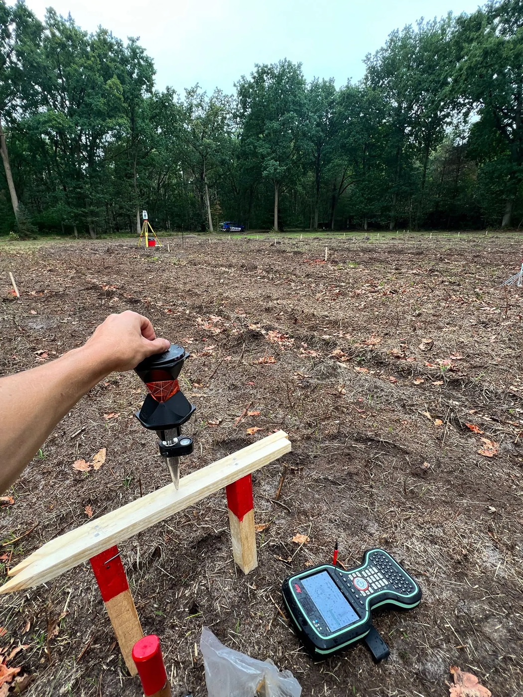
With control points and a correct flight we obtain volumes with a deviation of usually less than 1–2 %. By always using the same flight setup, successive measurements are perfectly comparable.
Tip: define the reference surface and measurement method together, to avoid disputes at settlement.
What you receive
- Volume report (m³) per stockpile or zone
- Difference map versus the previous capture
- Orthophoto and elevation model
- Substantiated PDF report for settlement