
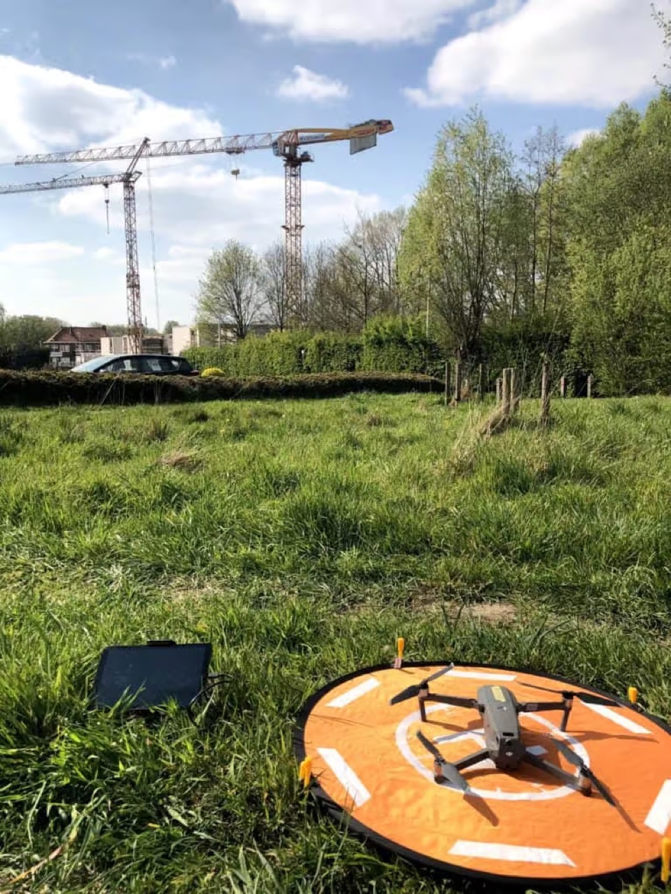
What does construction monitoring involve?
We fly over your site at fixed times and make the same capture each time. The result is a time series of orthophotos and 3D models with which you see the progress, document phases and check execution against the design.
This gives you an objective and georeferenced file — useful for site meetings, communication with the client and any disputes.
Applications
- Monthly or weekly progress reporting
- As-built check against the design
- Earthworks and volume balance during the works
- Communication and marketing images of the project
- Documentation at handover or dispute
Method
- We define the frequency and the fixed flight setup.
- Each capture is georeferenced with control points.
- We process into orthophoto, 3D model and possibly volume balance.
- You receive a periodic report or access to an online viewer.
What you receive
- Time series of orthophotos and 3D models
- Progress report per capture
- Volume and difference maps
- Online viewer or PDF report